

Table of contents


No headings in the article.
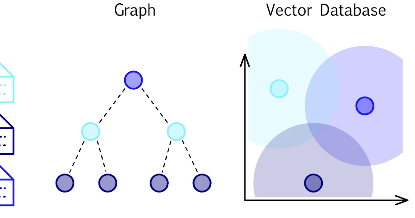
Vector databases are a type of database that is specifically designed to store and manage vector data. Vector data is a type of geospatial data that represents features and objects as points, lines, and polygons with specific spatial coordinates. Examples of vector data include maps, aerial photographs, and satellite imagery.
Vector databases are used extensively in various applications, such as geographic information systems (GIS), spatial analysis, and remote sensing. They offer several advantages over traditional relational databases, such as easily storing and managing spatial data, faster query processing, and more advanced spatial analysis tools.
Here are some key features of vector databases:
Geometries: Vector databases store spatial data as geometries, representing spatial features as points, lines, and polygons with specific coordinates. The geometries can be used to perform spatial analysis and visualization.
Indexing: Vector databases use indexing techniques to optimize query performance. The indexing is based on the spatial location of the features and enables quick retrieval of data based on their location.
Coordinate Reference System (CRS): Vector databases store spatial data in a specific CRS, which defines the coordinate system and projection used for the spatial data. The CRS enables the spatial data to be accurately represented on a map and used for spatial analysis.
Spatial functions: Vector databases provide a range of spatial functions to enable advanced spatial analysis. These functions include spatial queries, proximity analysis, spatial joins, and spatial aggregation.
Multi-user access: Vector databases support multi-user access, which enables multiple users to access spatial data simultaneously. This feature is especially useful in applications where multiple users need to access and update the same spatial data.
There are several popular vector databases available in the market, including PostGIS, Oracle Spatial, Microsoft SQL Server Spatial, and GeoServer. Each of these databases has its own strengths and weaknesses, and the choice of a vector database depends on the specific requirements of the application.
Example code for working with vector databases using PostGIS, a popular open-source vector database for PostgreSQL:
- Creating a new vector database table:
CREATE TABLE mytable (
  id SERIAL PRIMARY KEY,
  name VARCHAR(50),
  geom GEOMETRY
);
Inserting data into the vector database:
 INSERT INTO mytable (name, geom)
 VALUES ('Feature 1', ST_GeomFromText('POINT(-122.4194 37.7749)', 4326));
Querying the vector database:
SELECT name FROM mytable WHERE ST_Contains(geom, ST_GeomFromText('POINT(-122.4194 37.7749)', 4326));This query selects the name of any features in the
mytablethe table that contain the point with the given longitude and latitude coordinates.Performing a spatial join:
 SELECT a.name, b.name
 FROM table_a a, table_b b
 WHERE ST_Intersects(a.geom, b.geom);
This query performs a spatial join between two tables, table_a and table_b, and returns the names of any features that intersect.
These are just a few examples of how to work with a vector database using PostGIS. Vector databases offer a powerful set of tools for managing and analyzing spatial data, and there are many more advanced queries and functions available to explore.
In conclusion, vector databases are an essential tool for managing and analyzing spatial data in a range of applications. They offer advanced spatial analysis tools and faster query processing compared to traditional relational databases. If you are working with spatial data, consider using a vector database to manage and analyze your data.